城門水塘
Shing Mun Reservoir is located in the central New Territories, surrounded by Tai Mo Shan, Needle Hill and Grassy Hill in Shing Mun Valley. In the early years of the Qing Dynasty, Li Wanrong, a general of the late Ming Dynasty, fled to Hong Kong and built Shing Mun City (refers to “walled city”) in the valley to withstand the Qing army. Later on, Shing Mun Village, Shing Mun River and Shing Mun Reservoir were all named after it.
The construction of Shing Mun Reservoir commenced in 1923. Prior to that, eight Hakka villages were already built in the valley, namely Lo Wai, Pak Shek Wo, Pei Tau To, Shek Tau Kin, Fu Yung Shan, Nam Fong To, Tai Bo Lik and Ho Pui Lik. In order to facilitate the construction of the reservoir, villagers were relocated to Kam Tin and Yu Kok etc. The construction was completed in 1936, which was the Silver Jubilee of King George V, therefore the reservoir was once renamed as the Jubilee Reservoir. A memorial stone is still on the side of the main dam to commemorate the history.
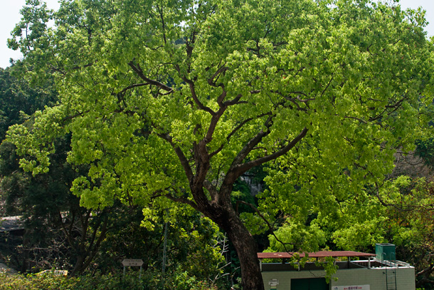
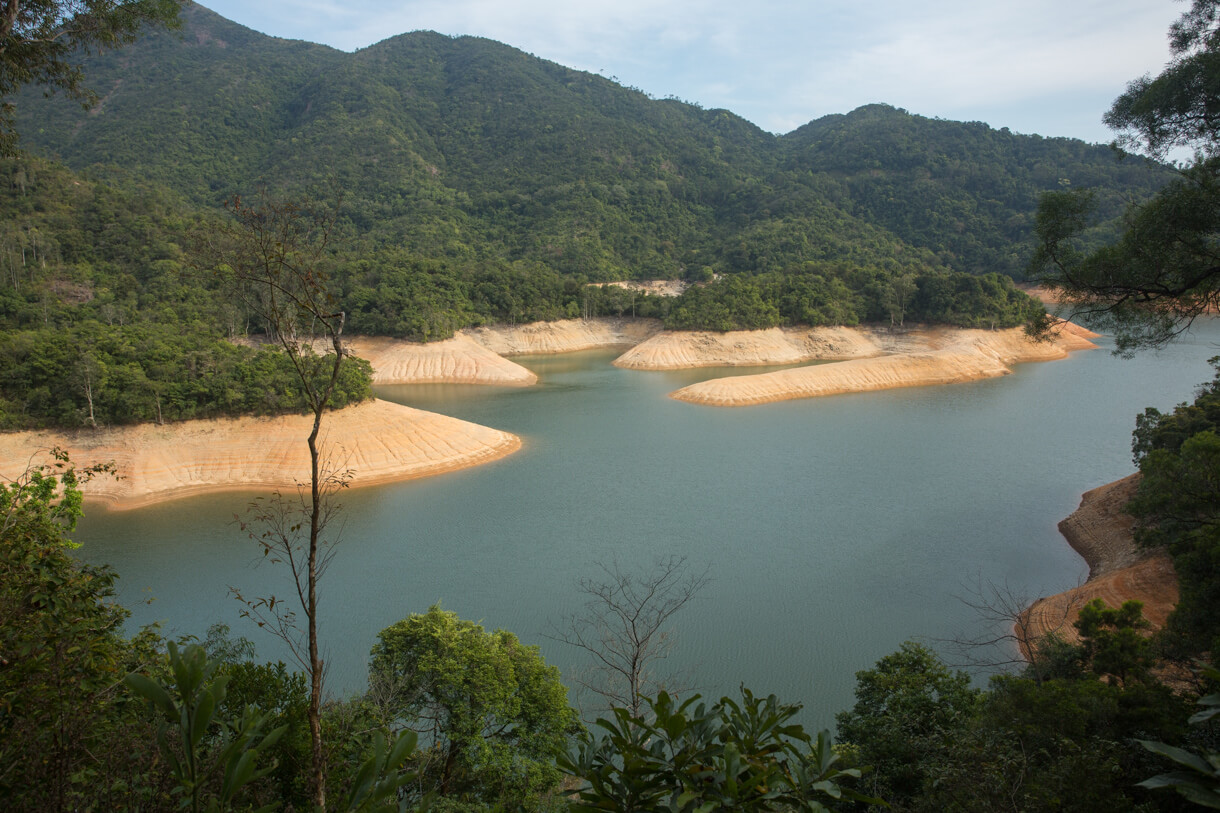
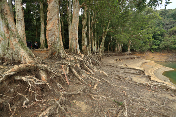
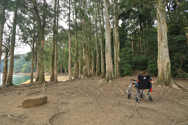
Shing Mun Reservoir is the first area developed for picnic and barbecue facilities in Hong Kong. Shing Mun Country Park, where the reservoir is located, is also one of the first designated country parks in Hong Kong. Paperbark trees are widely planted by the reservoir, they reflect in water when the reservoir overflows, which attracts many tourists to visit.
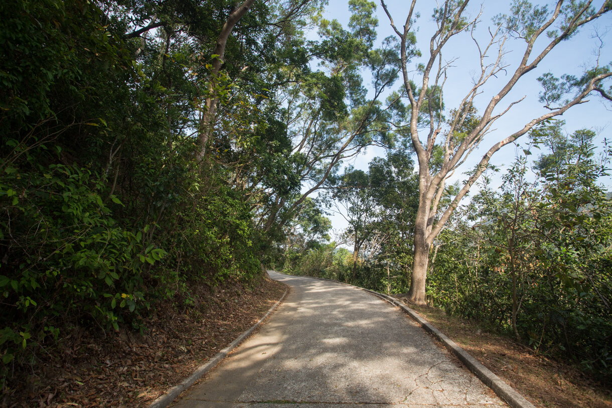
Although there is a forest road around Shing Mun Reservoir, the slope is quite steep in general. Wheelchair users who wish to visit could choose the flat road from Shing Mun Road to the main dam, or a relatively steep forest road on the west bank of the reservoir.
| Shing Mun Road | Butterfly Garden | Paperbark Tree Corridor | Butterfly Garden | Shing Mun Road | ||||
Turn left from Shing Mun Road minibus stop, go up along the road (the ramp is about 9°, i.e. 1:6), turn right at the second fork and go all the way up (the ramp is about 9°, i.e. 1:6). After passing the Butterfly Garden, descend along the ramp (the ramp is about 7°, i.e. 1:8) to the Paperbark Tree Corridor. Then, retrace your steps to the minibus stop on Shing Mun Road.
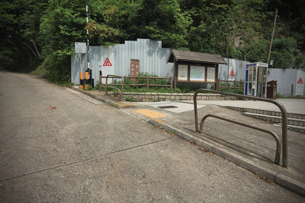
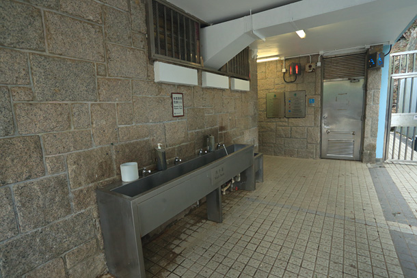
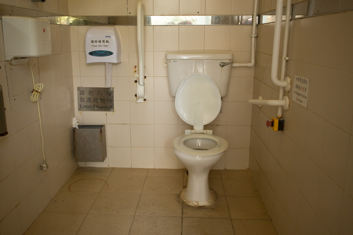
Drop-off and accessible toilet
| Starting point | ||
| Taxi | - | - |
| Minibus No. 82 (Only suitable for people who can walk a little or with a foldable wheelchair) |
Tsuen Wan (Shiu Wo Street) - Shing Mun Reservoir (Get off at Shing Mun Reservoir) |
20 min |
| Bus No. 32 . 36 . 40X . 46X . 47X . 48X . 73X . 278X (Low-floor buses are available for the above routes. After getting off at Ho Fung College, visitors will have to ascend along Shing Mun Road to the starting point. Please note that there is no barrier-free sidewalk along the way, the slope is steep and the traffic is busy.) |
Districts - Districts (Get off at Ho Fung College) |
- |
| Endpoint | ||
| Same as the above | ||
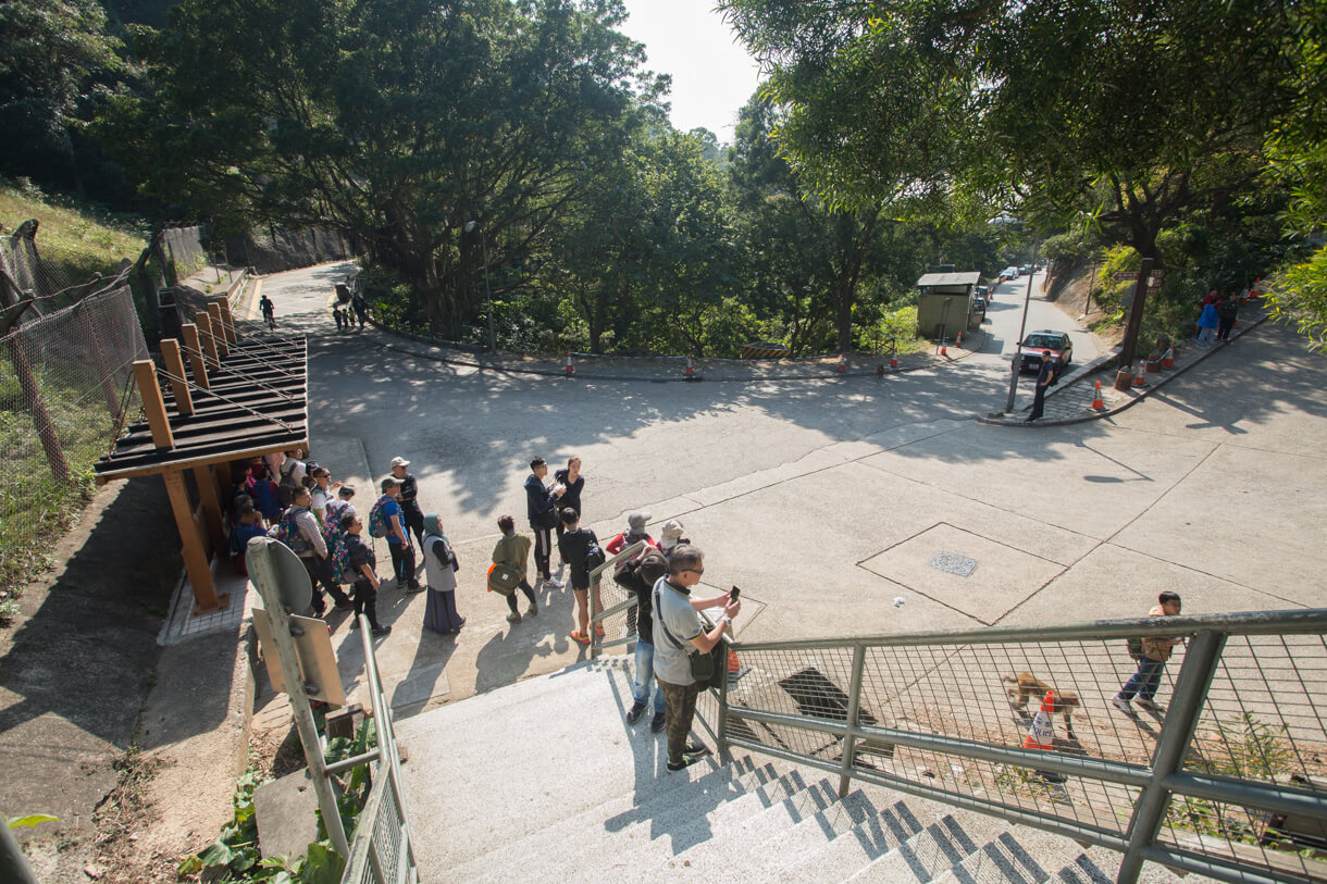
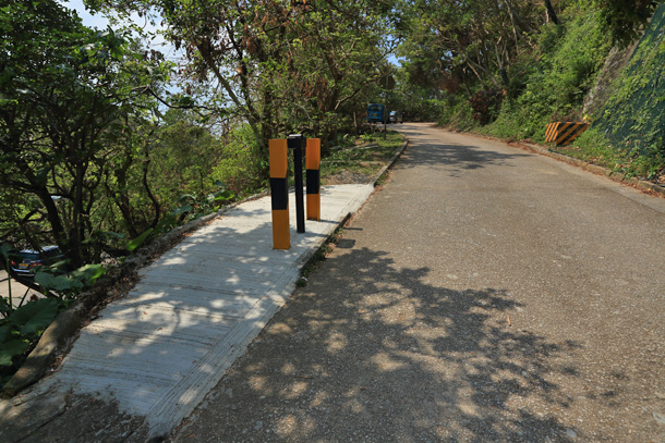
- Some part of the trail is steep, it is necessary for wheelchair users to ascend and descend slowly with the assistance from companions.
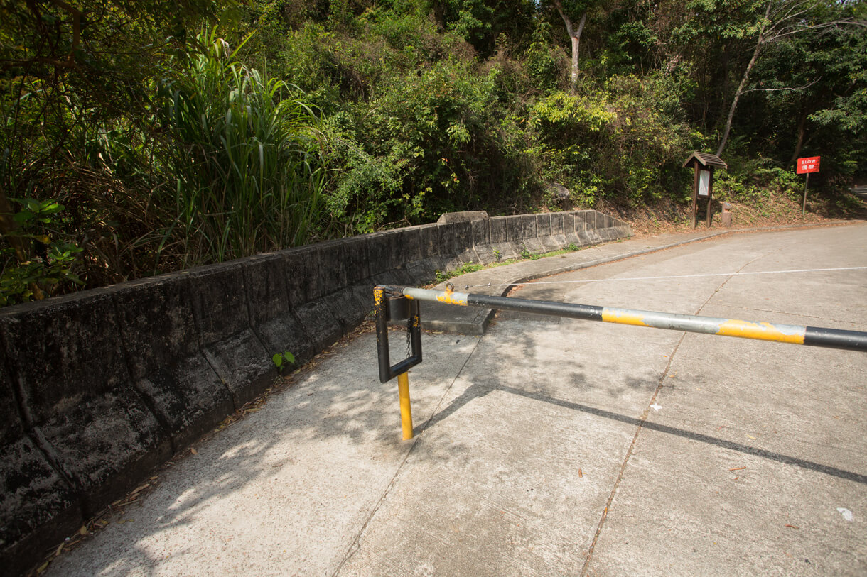
- Although vehicles are prohibited from entering the trail, vehicles with permits pass by occasionally, so visitors have to be careful.
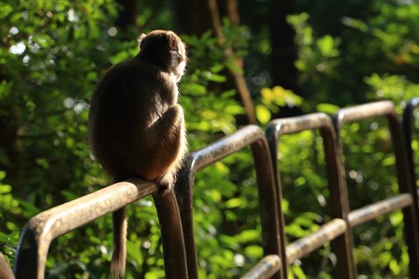
- There are many macaques along the trail, in order to avoid macaques grabbing food, visitors should not eat or drink at where the macaques appear and should not feed the macaques.
Amy, mother of a manual wheelchair user: It is safer to go up and down the slope if you have a companion. The route is indeed not smooth and easy, but it is worth a visit with support and encouragement!
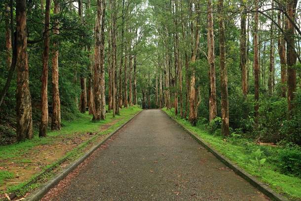
The entire route is a driveway, part of it slopes up and down slightly where assistance is needed. Also, the gate at the starting point may be locked and cannot be passed. Visitors will pass through a verdant tree-lined driveway, and finally arrive at the flourishing Paperbark Trees Corridor.
- 饒久才:《香港的地名與地方歷史下- 新界》。天地圖書有限公司。2012
- 漁農自然護理署:《群山覽翠》。郊野公園之友會 / 天地圖書有限公司。2006
- 漁農自然護理署:《郊野叁十年》。郊野公園之友會 / 天地圖書有限公司。2007